
Knox County Neighbors: Public Block Sources
Different records answer different questions about a short stretch of street. KGIS supplies the geographic frame. The assessor card supplies assessed ownership and the two address fields it holds. City work records can describe a public permit or code case. The neighborhood directory supplies organization contacts, not household membership. Knoxville city limits and Knox County mailing geography are not identical, so first confirm which jurisdiction and map layer applies to the address.
| Source | What It Shows About a Block | Access |
|---|---|---|
| KGIS parcel and layer map | Adjacent parcel IDs, streets, structures, districts, ZIP context, aerials, and owner-report route | Public map with identify and report tools |
| Knox County assessor | Assessed owner, mailing and situs addresses, parcel details, class, and legal fields | Public property card, subject to display limits |
| Knoxville work-search index | Public work requests, permits, and code records by address or parcel | Online search; historical records-request fallback |
| State voter and GoVoteTN lookups | Named registration match or polling and sample-ballot information | Name or address search, not a street roster |
| Neighborhood directory and viewer | Organization name, boundary, and public contact route | City directory or map, with no public member roll located |
For Knox County neighbors, distinguish a parcel owner from an occupant. A mailing address can be an estate, trust, lender, family member, or stale destination. A parcel beside another parcel shows geography, not a personal relationship or a household list.
Find Knox County Neighbors on Adjacent Parcels
The KGIS Maps viewer is the practical first stop for an immediate block. It searches by Address, Parcel, Owner, Place, or Other. After locating the target, the identify tool can return a parcel's owner, address, and parcel ID, then open a more detailed owner or property report. Turn on parcels, buildings, streets, subdivisions, ZIP codes, voting districts, neighborhoods, and aerials only as needed. The map helps anchor the search in a real block without turning it into a roster.
- Enter the target address without city, state, or ZIP first, because KGIS uses official address points rather than ranges.
- Select the parcel and preserve the displayed address, parcel ID, and search date.
- Pan or zoom to the parcels directly beside it, then identify each parcel separately and record only the public parcel facts needed for the question.
- Open the assessor property card to compare the situs and mailing fields, then treat either field as a record clue rather than proof of occupancy.
- Use the By Street directory only when the task expands from an immediate block to a fuller address-record trail.
Historical aerial options in KGIS include verified years from 1995 through 2022. They can show a lot split, building change, road extension, or former structure. They cannot identify who lived in the building.
Insider Tip: KGIS Address Builder
An address failure is often a wording problem. KGIS advises starting without city, state, or ZIP. Try the street core and official house number, then use Address Builder, parcel search, map browsing, subdivision or plat details, and the legal description. The geocoder is refreshed on weekdays and uses address points, so a low score can return a list rather than a single automatic match.
The nearby-parcel method is safer when it stays parcel-based. Compare the exact map result with the assessor parcel ID before recording a public owner result. KGIS parcel lines are for general reference and do not replace a survey.
Note: Record the full parcel ID, including any suffix, because it can remain useful when a street number or address form changes.
Knox County Neighbors and Civic Contacts
The City of Knoxville's Office of Neighborhood Empowerment maintains support for resident-led groups within city limits. Its public layer points to a neighborhood directory, registration and update materials, boundaries, public contacts, and the KGIS Neighborhood Groups Viewer. That is the right route for an organization contact or meeting context. It is not a source for a private member list, and no countywide public member roll was located for unincorporated Knox County.
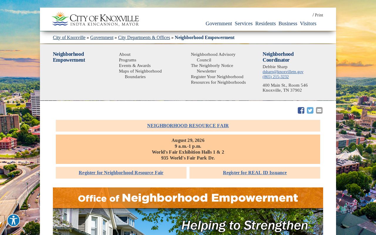
The city office's organization focus helps separate a public neighborhood contact from an assumption about who belongs to the group.
City Neighborhood Directory
Use it for an organization name, registration route, boundaries, and public contact inside Knoxville city limits. No public member roster was located.
KGIS Neighborhood Groups Viewer
Map identify results may show a group name and, where supplied, a contact, website, or Facebook link. Entries are voluntary public contacts.
Neighborhood Advisory Council
Its public affiliations include South Haven, Forest Brook, Norwood Heights, Fourth & Gill, West Hills, and other named Knoxville groups. Affiliation does not establish membership.
Knoxville Resources Around a Block
The City's Neighborhood Resources page links the neighborhood directory, boundary and map resources, registration or update process, and KGIS Viewer. Publicly listed categories include neighborhood associations, voluntary associations, crime watches, and HOAs. Use those resources to find a meeting calendar, organization contact, or boundary question. Do not ask an organization for private household information.
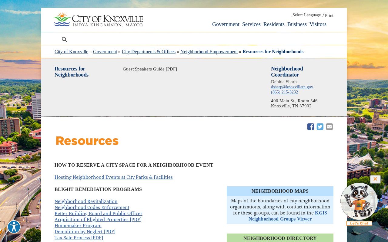
The resource page gives a direct, source-based way to locate a community contact without converting civic participation into a resident list.
The Neighborhood Advisory Council generally meets monthly except July and December, on the second Wednesday at 4:30, and lists 865-215-3232 as its contact route. Confirm the current meeting schedule with the City before attending, because schedules and affiliations can change.
Knox County Neighbors and Voter Limits
Voting information is narrower than a neighbor search. GoVoteTN can use a name and ZIP or address and ZIP to return polling, sample-ballot, and elected-official information. The Tennessee Voter Registration Information Lookup requires county, first name, last name, birth month, and birth year to confirm a named registration match. Neither tool creates a public list of Knox County neighbors on a street.
The Knox Election Commission handles questions about a full voter file, corrections, historical poll books, precinct materials, and statistics. Tennessee Code Annotated §2-2-138 restricts voter-list use. A request should name the election date or precinct, fields, format, and inspection or copy need, then follow the Commission's current instructions. Safe at Home participants appear through a Participant ID and vote absentee rather than exposing a residential address.
Note: A polling location or district helps with election information, but it is not a parcel boundary or evidence that someone lives beside an address.
Knox County Neighbors: Official Versus Commercial
Official sources keep the scope narrow and allow a reader to check the custodian. A commercial neighbor-lookup category may combine public and licensed data, phone details, address signals, or association hints. It can be stale, paywalled, or wrong. Compare any result against an official parcel, map, court, or election source before relying on it, and never try to fill a protected-data gap with a compiled profile.
| Category | Useful Block Question | Limit to Keep in Mind |
|---|---|---|
| Official parcel and assessor records | Which parcels adjoin the target and who is the assessed owner? | Owner and mailing data do not prove every occupant. |
| City neighborhood resources | Which public organization covers the area and how can it be contacted? | Public contacts are not member records. |
| Commercial neighbor-lookup category | What compiled leads may need source checking? | Coverage, dates, and matching can be incomplete or incorrect. |
The Knoxville work-search index is another official address source where the city has jurisdiction. Search the main street name without a directional prefix or street type, or use a full parcel or CLT number. Permit and code results are building-history facts, not proof of ownership or residence.
Knox County Neighbors in Earlier Years
For a historic block, McClung's city and telephone directory collections can put an address beside a date. Reverse or criss-cross entries are particularly useful because they work from address to occupant clue. Read the street spelling, number, neighboring entries, name notation, directory year, and abbreviation key. A disappearance can reflect a changed number, a changed directory practice, or a move, so compare nearby years before drawing a conclusion.
McClung's Knoxville city-directory collection reaches from 1859 to the present, although individual volumes and annual gaps still need checking. Its telephone-directory set begins in 1898. The digitized 1907 directory shows why the page image matters: a compact entry may hold a name, address, relationship notation, and a business or work line, while the printed abbreviation key controls the reading. Preserve the exact page and year. A later cross-reference run also covers communities such as Halls Cross Roads, Powell, Mascot-Strawberry Plains, and Concord-Farragut.
Maps and aerials add context. The McClung Collection holds historic maps, while KGIS aerials can test later changes. A Sanborn map can show building material, footprint, and use, but it does not identify residents. For a past household beyond the immediate block, use the City Directories link in the navigation and pair dated entries with a parcel or deed identity.
Privacy Boundaries for Knox County Neighbors
Some information is not a block-search result. Renters and household members who do not appear in a public filing, utility customers, DMV addresses, private delivery data, protected voters, confidential victims, juvenile records, and adoption matters are not ordinary neighborhood records. The assessor's “UNLISTED” setting limits display in the searchable ownership field but does not turn a public card into permission to pursue a person.
Tennessee Safe at Home offers qualifying participants a substitute address for many government interactions. Do not use parcel, deed, map, or polling information to defeat that program. Tennessee public-record access is not a license to stalk, threaten, intimidate, or harass someone. If a result suggests a protected or sealed record, stop and contact the responsible custodian about the proper process.
Lawful personal use. Use Knox County neighbor records for local curiosity, civic contact, family reconnection, or a property question. Never use an address or public record to watch, target, stalk, threaten, or harass any person.
Note: A public parcel or organization entry is not permission to compile, republish, or pursue personal details about nearby people.